Материал: part17

Внимание! Если размещение файла нарушает Ваши авторские права, то обязательно сообщите нам

Page 716​

DICOM PS3.17 2020a - Explanatory Information​

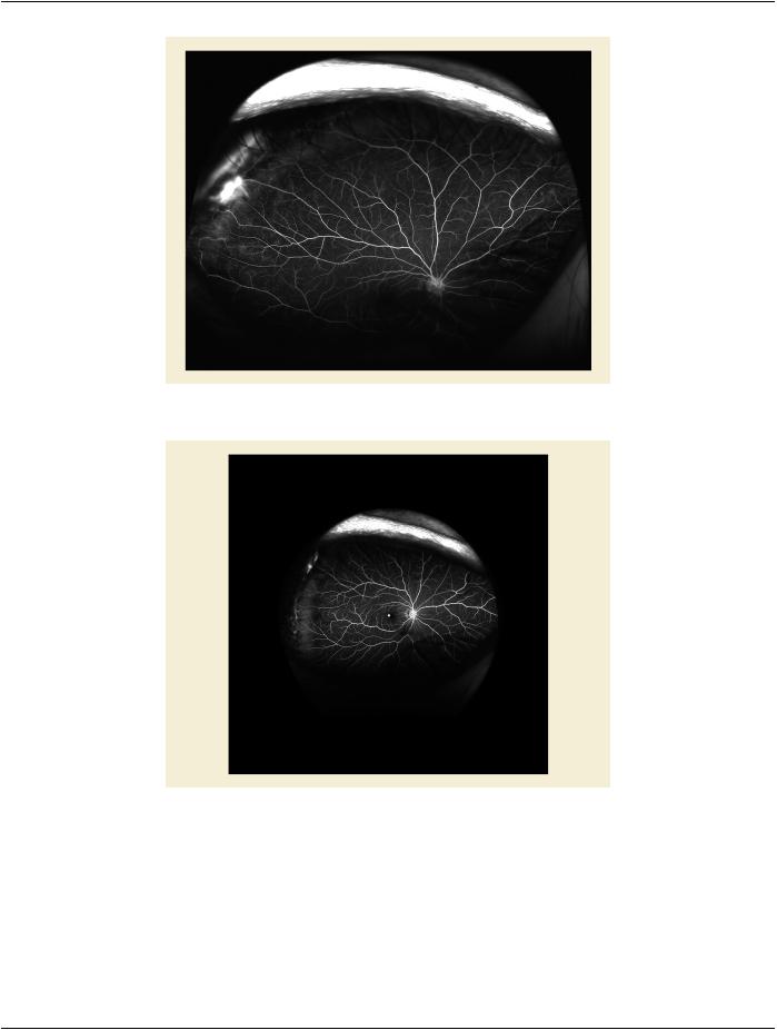
Figure UUU.1.2-3. Image acquired superiorly-patient looking up​

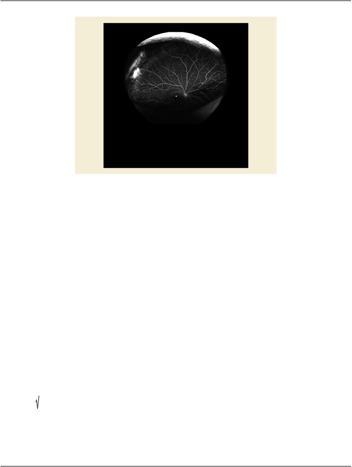
Figure UUU.1.2-4. Fovea in the center and clearly visible​

- Standard -​

DICOM PS3.17 2020a - Explanatory Information​

Page 717​

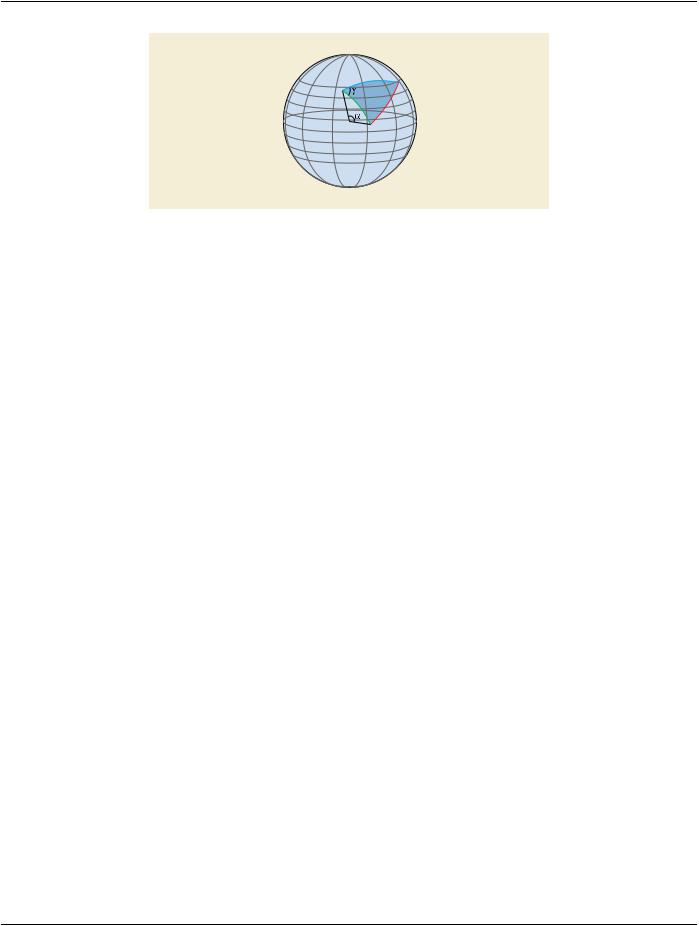
Figure UUU.1.2-5. Fovea barely visible, but the transformation ensures it is still in the center​

Furthermore the mathematical "background calculations" are well known for images in stereographic projection. Given points (pixels)​ on a retinal image, these can be directly located as points on the sphere and geometric measurements, i.e., area and distance​ measurements, performed on the sphere to obtain the correct values. The mathematical details behind the calculations for locating​ points on a sphere are presented in Section C.8.17.11.1.1 “Center Pixel View Angle” in PS3.3.​

UUU.1.2.1 Distance​

Theshortestdistancebetweentwopointsonasphereliesona"greatcircle",whichisacircleonthesphere'ssurfacethatisconcentric​ with the sphere. The great circle section that connects the points (the line of shortest distance) is called a geodesic. There are several​ equations that approximate the distance between two points on the back of the eye along the great circle through those points (the​ arc length of the geodesic), with varying degrees of accuracy. The simplest method uses the "spherical law of cosines". Let λs, ϕs; λf,​ ϕf be the longitude and latitude of two points s and f, and ∆λ ≡ |λf−λs| the absolute difference of the longitudes, then the central angle​ is defined as​

^

-1


Δσ = cos

sinϕs sinϕ f + cosϕs cosϕ f cosΔλ

where the central angle is the angle between the two points via the center of the sphere, e.g., angle a in Figure UUU.1.2-6. If the​ central angle is given in radians, then the distance d, known as arc length, is defined as​

^

RΔσ

where R is the radius of the sphere.​

This equation leads to inaccuracies both for small distances and if the two points are opposite each other on the sphere. A more ac-​ curate method that works for all distances is the use of the Vincenty formulae. Now the central angle is defined as​


cosϕ f sinΔλ 2

+ cosϕs sinϕ f - sinϕs cosϕ f cosΔλ

2


^

-1


Δσ = tan


sinϕs sinϕ f + cosϕs cosϕ f cosΔλ


- Standard -​

Page 718​

DICOM PS3.17 2020a - Explanatory Information​

Gb x3

x1

Ga Gc

x2

Figure UUU.1.2-6. Example of a polygon on the service of a sphere​

FigureUUU.1.2-6isanexampleofa polygon madeupofthreegeodesic Ga ,Gb , Gc ,describingtheshortestdistancesonthe sphere​ between the polygon vertices x1 , x2 , x 3. Angleγ is the angle on the surface between geodesics Ga and Gb . Angle a is the central​ angle (angle via the sphere's center) of geodesic Ga .​

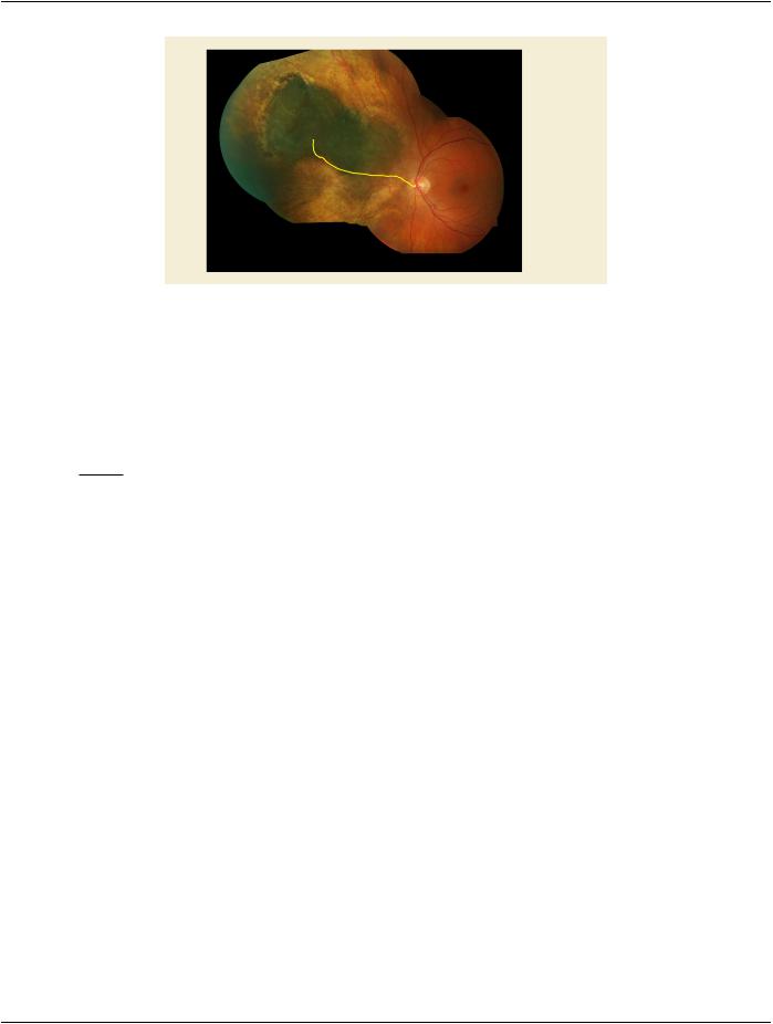
If the length of a path on the image (e.g., tracing of a blood vessel) is needed, this can be easily implemented using the geodesic​ distance defined above, by dividing the traced path into sections with lengths of the order of 1-5 pixels, and then calculating and​ summing the geodesic distance of each section separately. This works because for short enough distances, the geodesic distance​ is equal to the on-image distance. Note that sub-pixel accuracy is required.​

UUU.1.2.2 Area​

To measure an area A defined by a polygon on the surface of the sphere where surface angle (such as γ in Figure UUU.1.2-6) αi for​ i=1,…,n for n angles internal to the polygon and R the radius of the sphere, we use the following formula, which makes use of the​ "angle excess".​

A = R2


n


∑ αi - n - 2 π


i


This yields a result in physical units (e.g., mm2 if R was given in mm), but if R2 is omitted in the above formula, a result is obtained​ in units relative to the sphere, in steradians (sr), the unit of solid angle.​

UUU.1.2.3 Angle​

In practice, if the length of the straight arms of the calipers used to measure surface angle (such as γ in Figure UUU.1.2-6) are short​ then the angle measured on the image is equivalent to its representation on the sphere, which is a direct result of using the stereo-​ graphic projection as it is conformal.​

UUU.1.3 Introduction to 2D to 3D Map For Wide Field Ophthalmic Photography​

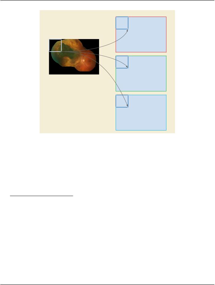
A 2D to 3D map includes 3D coordinates of all or a subset of pixels (namely coordinate points) to the 2D image. Implementations​ choose the interpolation type used, but it is recommended to use a spline based interpolation. See Figure UUU.1.3-1.​

Pixels' 3D coordinates could be used for different analyses and computations e.g., measuring the length of a path, and calculating​ the area of region of interest, 3D computer graphics, registration, shortest distance computation, etc. Some examples of methods​ using 3D coordinates are listed in the following subsections.​

- Standard -​

DICOM PS3.17 2020a - Explanatory Information​

Page 719​

X

Y

Z

Figure UUU.1.3-1. Map pixel to 3D coordinate​

UUU.1.3.1 Measuring the Length of a Path​

Let the path between points A, and B be represented by set of N following pixels P={pi} and p0=A and pN=B. The length of this path​ can be computed from the partial lengths between path points by:​

l= ∑i = N - 1li i = 0

where:​

li = (xi - xi + 1)2 + (yi - yi + 1)2 + (zi - zi + 1)2

and where xi, yi, zi are the 3D coordinates of the point pi which is either available in the 2D to 3D map if pi is a coordinate point or​ it is computed by interpolation. Here it is assumed that the sequence of path points is known and the path is 4- or 8-connected (i.e.,​ the path points are neighbors with no more than one pixel distance in horizontal, vertical, or diagonal direction). It is recommendable​ to support sub-pixel processing by using interpolation.​

- Standard -​

Page 720​

DICOM PS3.17 2020a - Explanatory Information​

A


P = {pi}


P0 = A

B

PN = B

Figure UUU.1.3-2. Measure the Length of a Path​

UUU.1.3.2 Shortest Distance Between Two Points​

Shortestdistancebetweentwopointsalongthesurfaceofasphere,knownasthegreatcircleororthodromicdistance,canbecomputed​ from:​

d = r σ

σ= arctan |n1×n2|

n1.n2

Where r is the radius of the sphere and the central angle (Δσ) is computed from the Cartesian coordinate of the two points in radians.​ Here n1 and n2 are the normals to the ellipsoid at the two positions. The above equations can also be computed based on longitudes​ and latitudes of the points.​

However, the shortest distance in general can be computed by algorithms such as Dijkstra, which computes the shortest distance on​ graphs. In this case the image is represented as a graph in which the nodes refer to the pixels and the weight of edges is defined​ based on the connectivity of the points and their distance.​

UUU.1.3.3 Computing The Area of A Region of Interest​

Let R be the region of interest on the 2D image and it is tessellated by set of unit triangles T={Ti}. By unit triangle we refer to isosceles​ right triangle that the two equal sides have one pixel distance (4-connected neighbors). The area of the region of interest can be​ computed as the sum of partial areas of the unit triangles in 3D. Let {ai ,bi ,ci } be the 3D coordinates of the three points of unit triangle​ Ti . The 3D area of this triangle is​

Ai = 12 ‖ b i - ai ×(ci - ai) ‖

and the total area of R is:​

A = ∑ Ai

Where (‖ … ‖) and ( x ) refer to the magnitude and cross product, respectively.​

Consider that ai , bi and ci are the 3D coordinates not the 2D indices of the unit triangle points on the image.​

- Standard -​

Источник: https://studfile.net/preview/14585770/